

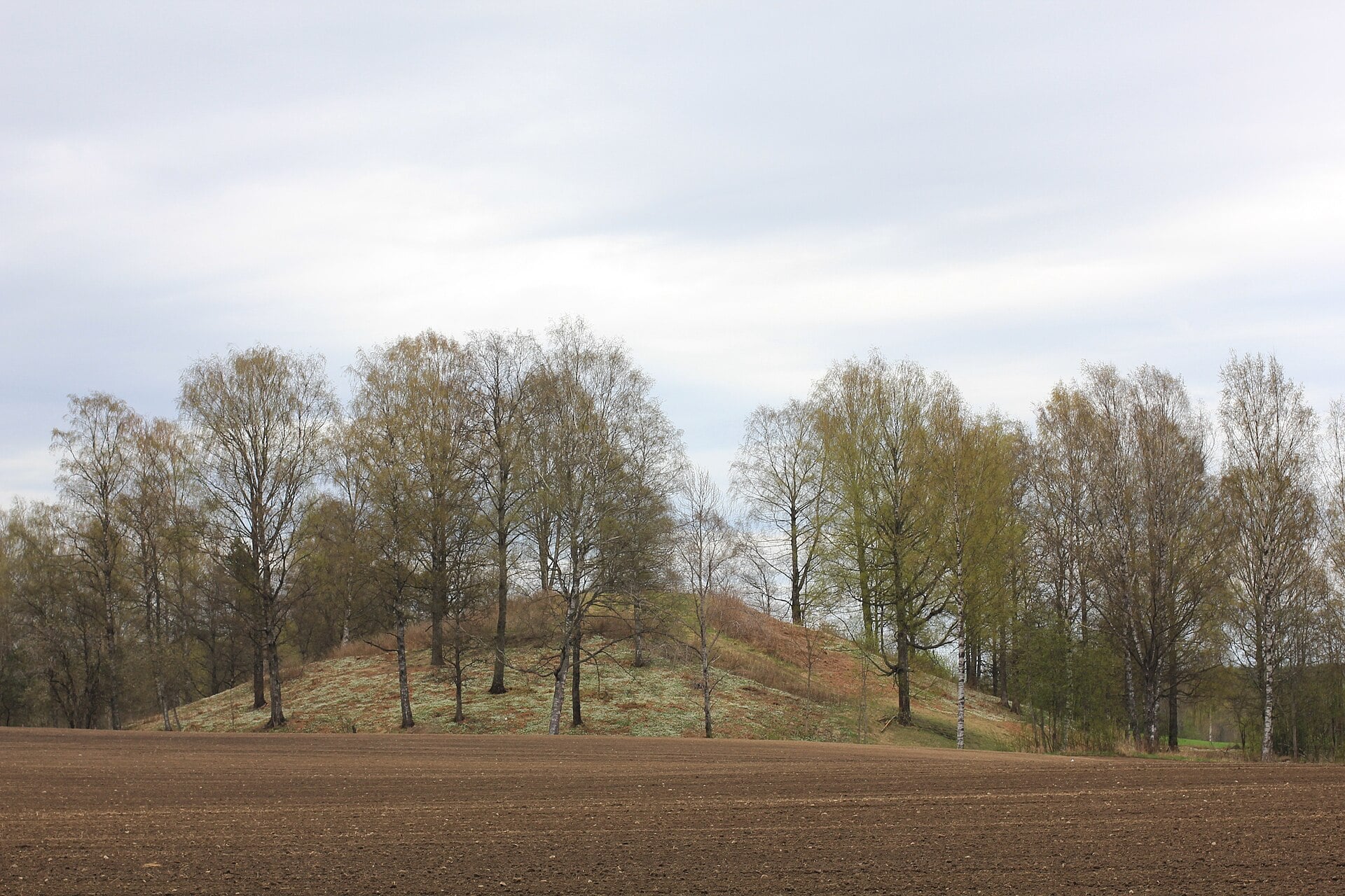
Scandinavia’s largest mound may have been built as a monument to disaster rather than as a burial site, according to a new study that challenges a long-standing view of the huge earthwork in southeastern Norway. The mound, known as Raknehaugen, has often been treated as a grave for a powerful person. But researchers now say the evidence points in another direction.
The study, led by Lars Gustavsen of the Norwegian Institute for Cultural Heritage Research and published in the European Journal of Archaeology, argues that the mound was likely a communal ritual response to a major landslide in the sixth century.
Scandinavia’s largest mound recast as a monument to upheaval
Raknehaugen stands about 40 kilometers (25 miles) north of Oslo. It is widely described as Scandinavia’s largest prehistoric mound. For years, archaeologists linked its size to elite power in the Late Iron Age. That idea rested on a common view that the biggest mounds were built to honor the most important dead.
But Raknehaugen has always posed a problem. Excavations dating back more than 150 years have failed to uncover clear proof of a burial. Researchers found no burial chamber, no grave goods, and no solid evidence of human remains tied to the mound’s original purpose.

Instead, the mound revealed a striking internal design. Investigators found layers of clay and sand separated by massive timber structures. One layer alone included about 25,000 logs and branches. The wood was rough and uneven. Some trees had been broken rather than cut. Others had been cut high on the trunk. Some stump ends even still carried roots.
Unearthed clues point away from a royal grave
Those details matter in the new study. Gustavsen argues that the mound does not look like a standard burial monument. It looks more like a carefully staged construction tied to a specific event in the surrounding landscape.
Using LiDAR data, the study points to a large landslide scar just south and west of the mound. The mark in the terrain covers about 1 square kilometer (0.39 square mile). The mound appears to sit near the edge of that damaged ground, where two very different landscapes meet: fertile clay land to the south and west, and sandy woodland to the north.
The timing also stands out. Tree-ring and radiocarbon evidence place the mound in the mid-sixth century, around the same period as the climatic crisis linked to the A.D. 536 “Dust Veil” event. That period brought colder weather and likely more rain. The study says those conditions could have made the area more vulnerable to a catastrophic landslide.
A sixth-century crisis may have shaped Raknehaugen
Rather than marking the grave of a high-status person, Raknehaugen may have been built to answer upheaval in both nature and society, the study says. Gustavsen suggests the mound served as a ritual structure meant to restore order after a traumatic event.
The argument does not claim final proof that the landslide and the mound are directly linked. But it reframes one of Scandinavia’s best-known monuments. In this view, Raknehaugen was not built to glorify one dead person. It was built to help a community confront disaster.

