
Surface ceramics from ancient Samos are reshaping what researchers thought they knew about the Greek island’s rural past. A four-year field survey in the island’s southwest found that everyday pottery came mostly from local makers, with few signs of long-distance imports. The evidence points to a countryside that relied heavily on its own production, even as Samos held a long-standing reputation as a maritime crossroads.
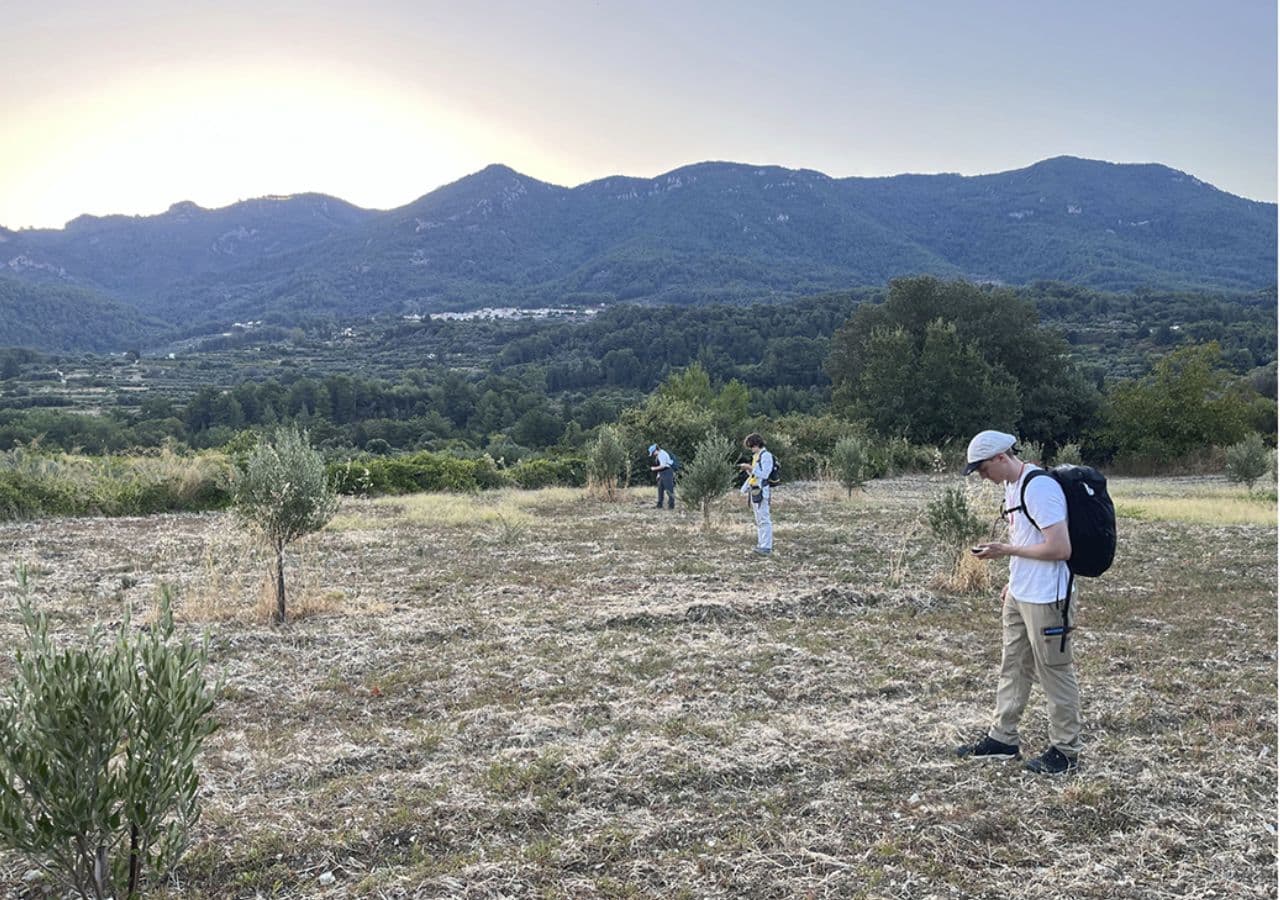
Researchers with the West Area of Samos Archaeological Project, known as WASAP, carried out fieldwork from 2021 through 2024. The team focused on the plain of Marathokampos and the southern coastline between Koumeiika in the east and Limnionas in the west.
The project aimed to identify where ancient activity took place and to better understand how west Samos connected to the rest of the island and to the wider Aegean.
New light on a lesser-known side of Samos
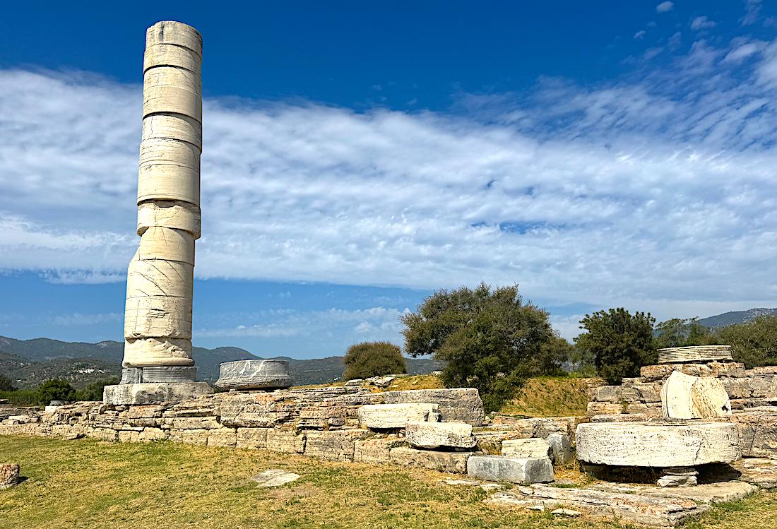
Samos is widely known for major archaeological sites in the east. The island’s Sanctuary of Hera, called the Heraion, and the remains of the ancient city of Pythagoreio went onto the UNESCO World Heritage List in 1992. Researchers have studied that side of the island for decades. By contrast, west Samos has received far less attention, despite its fertile land and its position along important sea routes.

WASAP researchers tried to close that gap by surveying the landscape in detail. They mapped find locations across the ground surface, where farming and erosion often bring artifacts to light. Many of the discoveries came as broken pottery found in plow-soil or exposed along terraces.
The team’s work identified 15 “Areas of Interest” across the pre-modern landscape. These areas formed concentrated pockets of activity that span a long timeline. The finds date from the Archaic period through the Byzantine era, roughly from the 7th century BC to the 15th century CE.
Surface ceramics point to a self-sufficient economy in ancient Samos
The ceramic evidence also offered a clear economic signal. Researchers reported that the pottery assemblage was dominated by locally produced wares. They found only limited evidence for imports from far away. That pattern suggests that pre-modern life in the southwest depended largely on local goods.
The results challenge a common picture of Samos as a bustling trade hub in daily life across the island. Maritime connections still mattered, but the survey indicates that rural communities in the southwest operated with a high level of self-reliance.

Researchers said the new data points to an economy that looked inward in many practical ways, especially outside the main urban and sanctuary centers.
The survey also traced changes in settlement patterns over time. Researchers highlighted shifting dynamics in how communities formed and grew. In one case, they documented a development in which a small, seasonal complex near the coast expanded over generations into a larger settlement.
Daily life was local, even in a sea-facing island
The project linked rural life to coastal activity without treating the countryside as a simple backdrop. Researchers said the results show how rural communities functioned alongside maritime centers. The survey outlined a network that appeared complex, but still rooted in regional practices and local production.
WASAP combined fieldwalking with several digital research methods. Researchers used born-digital data collection in the field, along with GIS mapping and computational route modeling. The project also used drone photography to enhance views of the landscape. The team said these tools helped refine how archaeologists interpret ancient economies and everyday life.
The research was conducted with permission from the Hellenic Ministry of Culture and the Ephorate of Antiquities of Samos and Ikaria.